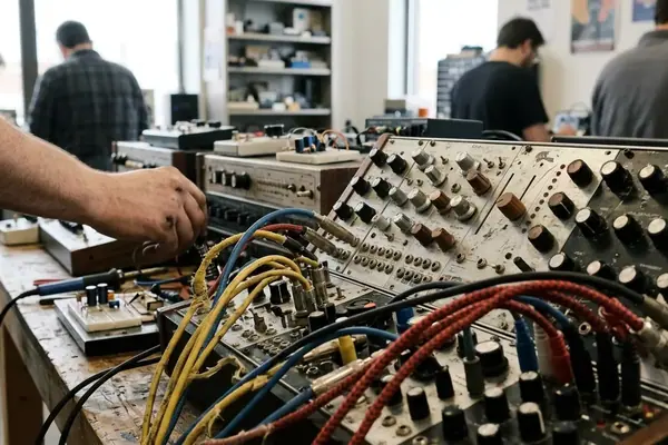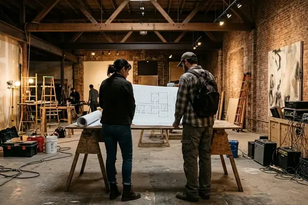
Buffalo’s Experimental Spaces Outlast Their Addresses
Hallwalls began in 1974 in a former ice-manufacturing plant on Essex Street. Its subsequent move to the Tri-Main Center at 2495 Main Street, followed by its arrival at Babeville, 341 Delaware Avenue, in 2006, gives Buffalo’s experimental geography a concrete shape: an industrial compound, a manufacturing complex, a former church. Each address places the institution within a different architectural setting.
A cultural history organized around buildings therefore follows a different path from an institutional chronology. The institution carries its name forward; the former premises acquire other occupants and uses. Soundlab’s former address at 110 Pearl Street, an industrial building later converted for brewery use, makes that divergence particularly legible.
For Big Orbit Gallery, Soundlab, and the wider Buffalo arts scene, the field problem begins where an exhibition announcement meets a present-day doorway. A flyer identifies an event. A parcel map locates land. Neither alone explains which entrance served an upstairs room or how several artists occupied a subdivided complex.
A single-afternoon loop can reconnect those records with the street. Historians, students, and cultural workers can use the same modest apparatus: a verified address sheet, a physical notebook, a transit plan, and disciplined exterior observation. The building footprint supplies the organizing unit; exhibitions and performances supply its changing cultural associations.
Resolve the Essex Street Parcel Before Following the Flyer
Begin with the address exactly as it appears on the exhibition flyer, zine, or catalog. Preserve punctuation and suffixes in the transcription. Big Orbit Gallery’s former address, 30D Essex Street, requires particular care because the letter identifies a subdivision within an industrial setting rather than an independently obvious street frontage.
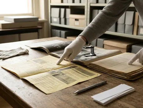
Compare the event document with historic Polk City Directories, then check the City of Buffalo’s tax parcel viewer. Use the Erie County Section-Block-Lot identifier to connect the address to its parcel. Directory entries at intervals around the event date help track changes in occupancy or numbering; the parcel outline helps distinguish a building subdivision from a separate lot. A shared parcel explains why a navigation app may place several historical entrances at one frontage.
Keep Three Address Fields
The notebook should distinguish the printed event address, the municipal parcel reference, and the entrance to inspect from the sidewalk. Record a colloquial venue name in its own field. This preserves the language of a DIY concert bill without allowing that language to determine the map position.
- Print the parcel outline with the street edge and neighboring footprints visible.
- Transcribe the relevant directory entry and its date.
- Record historical zoning classifications separately from present-day classifications.
- Identify the flyer, zine, or catalog supporting the venue association.
- Prepare blank fields for entrance bearing, photograph identifier, ambient sound, and observation time.
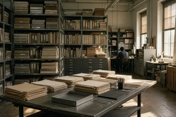
The Grosvenor Room at the Buffalo & Erie County Public Library provides a setting for this directory work before the walk. Complete the address reconciliation there, then carry a compact working packet. The field notebook should make the distinction between documentary evidence and present observation visible at a glance.
Place Delaware Avenue Before the Exterior-Only Stops
For a gallery-first Saturday, anchor the route at Hallwalls in Babeville and confirm public exhibition hours before departure. The planned afternoon window should protect gallery time, leaving former industrial sites for later exterior observation. A four-hour circuit becomes easier to manage when the route includes one principal institutional visit and a small, verified cluster of former addresses.
The architectural comparison begins at Delaware Avenue. Babeville’s Gothic Revival church masonry establishes a strong contrast with the brick-and-timber industrial buildings behind Essex Street’s wooden residential doubles. Along the route, changes in setback, doorway scale, and building depth turn an abstract account of adaptive reuse into a sequence of visible spatial relationships.
Walking preserves that continuity. Bus travel preserves time.
Use Richmond and Delaware Avenue walking segments to examine transitions between residential streets and larger cultural buildings. Compare NFTA Metro Bus Route 25 on Delaware with Route 3 on Grant when connecting the West Side and downtown portions of the loop. Select stops, directions, and Saturday departures from the current timetable before leaving; treat the walk between a site and its stop as part of the route.
A downtown extension can place Soundlab’s former Pearl Street building beside the Essex Street complex in the same notebook. The comparison concerns industrial accommodation: vertical circulation in a multistory building versus the entrances and shared open space of a courtyard compound. Keep Main Street and Pearl Street additions subordinate to the gallery appointment and return journey. A compact circuit leaves time to record what the buildings actually present.
Read Masonry and Sound From the Public Curb
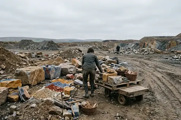
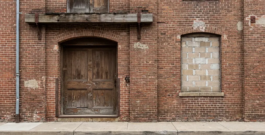
A recessed freight entrance, a timber hoist beam, and a blocked window offer different kinds of evidence. The entrance records a circulation opening. The beam marks material-handling infrastructure. The infill records an alteration to the building envelope. Their relationship to a particular exhibition or performance requires a corresponding archival record.
Work exclusively from public rights-of-way. Keep private driveways, courtyards, loading areas, and residential thresholds outside the walking route. Never interrupt tenants or business operations to obtain a better view. Where street-facing houses conceal rear courtyard buildings, record the obscured sightline and retain the parcel outline rather than entering for a photograph.
Separate Fabric From Acoustic Interpretation
Describe a cinderblock window infill by its position, material, and relation to surrounding masonry. Then record the sound audible at the curb: traffic, mechanical equipment, conversation, or a quiet interval. These observations establish the current exterior acoustic environment. Attribute historical sound-equipment movement or room treatment only when an event record, interior photograph, or other identified document supports that connection.
Give each facade a short observation window. Pair the entrance’s magnetic compass bearing with a wide-angle reference photograph, framed above ground-floor residential window lines. Add a timestamp and match the image filename to the notebook entry. A second sketch can isolate a loading recess or masonry seam without collecting unnecessary detail about present occupants.
The Library of Congress Historic American Buildings Survey guidelines provide a reference point for systematic architectural documentation. For this Buffalo loop, consistency starts with a simpler discipline: keep observed fabric, documentary associations, and interpretation in separate fields throughout the archives & texts record.
Build an Essex-to-Delaware Spread Before Hallwalls Closes
For an Essex-first version of the afternoon, prepare the Hallwalls arrival around its confirmed opening hours. The following sequence begins at the public curb outside 30D Essex Street at 1:00 PM and carries the record toward Delaware Avenue.
- Open the parcel page at Essex Street. Place the printed outline on the left-hand page beside the directory transcription and Big Orbit Gallery address. On the right, write the arrival time and mark the position occupied on the public sidewalk.
- Locate the courtyard geometry. Compare the mapped recess with the visible passage and building edges. Keep the historical associations with early Hallwalls studios and Big Orbit Gallery beside their documentary references. Draw solid lines for visible edges and broken lines for map-derived geometry.
- Record the facade, then consolidate. Use the brief facade observation period for an entrance bearing, reference photograph, masonry notes, and ambient sound. Spend the remainder of the planned twenty-five-minute Essex stop labeling the sketch and matching photographs to entries.
- Follow the prepared transit connection. Take the planned eastward walk toward the selected southbound stop. Record the actual departure and arrival times while traveling toward Tupper and Delaware, then continue to Hallwalls at 341 Delaware Avenue. Give any additional listening-space stop its own verified address and entry.
- Complete the spread at Babeville. In an open public seating area, align the Essex sketch with the parcel outline. Add the transit timestamps between the two site entries. Beside the Delaware Avenue observation, describe the church masonry and entrance arrangement using the same fields used at Essex.
Reserve fifteen to twenty minutes before the planned 4:00 PM finish to resolve the page: the left side holds parcel geometry, dated directory notes, and event references; the right holds curb position, bearings, photographs, sounds, and travel times. Connect each photograph identifier to its drawn sightline. Circle the courtyard edge seen from Essex Street, label the corresponding map line, and close the notebook with both records attached to the same place.